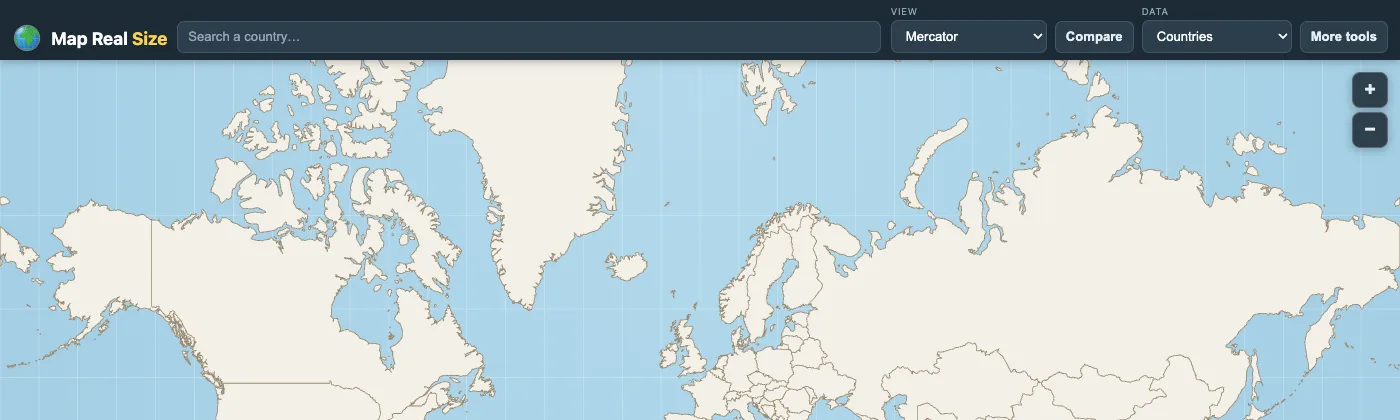
Challenge
Help people understand how badly the familiar Mercator projection distorts our sense of country scale — in a way that's instantly intuitive, not academic.
Approach
Built a fast, static-first app with geodesic drag math on the sphere, multiple projections, globe view, and shareable URLs — all without a backend.
Stack
- Vanilla JS
- D3.js
- TopoJSON
- Cloudflare Pages
Highlights
- Drag-and-drop country comparison on Mercator and equal-area projections
- Globe view, stack mode, and PNG/SVG export
- Privacy-friendly analytics and zero server-side storage